An All-in-OneDigital Agricultural Operating Platform — From Soil to Cloud
Farm View lets farmers monitor fields, equipment, crops, and environment in real time. With AI and remote sensing, it turns farm management into a smart, visual, and data-driven process.
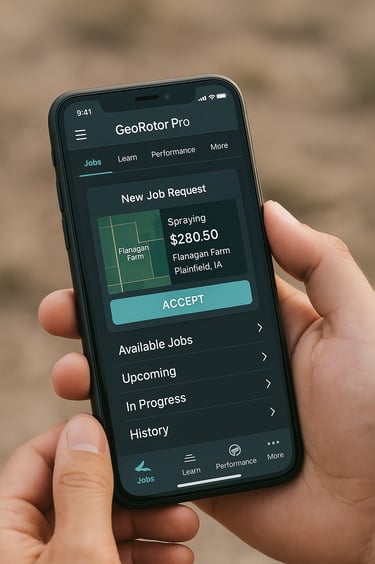
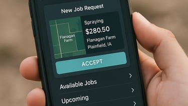
GeoRotor Pro is a dedicated platform for drone pilots, offering one-click job acceptance, task navigation, equipment management, operation logs, and AI-powered insights. It also includes a built-in certification and growth program to support continuous skill development, career advancement, and income growth.
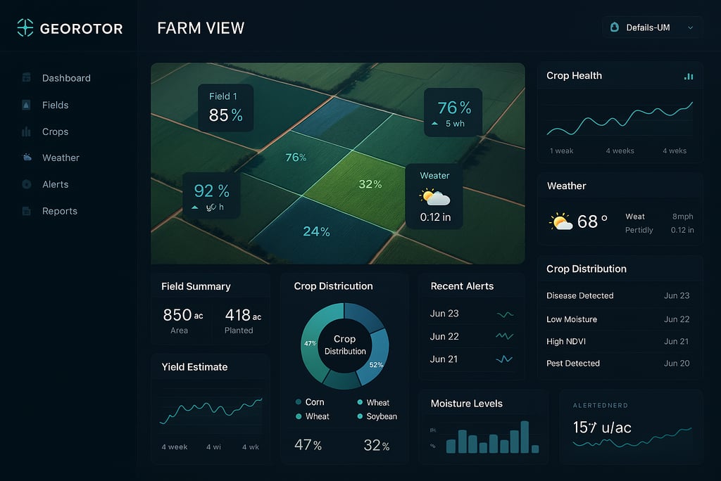
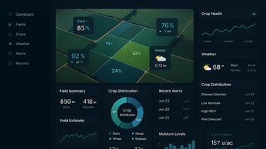
GeoRotor Farm View
GeoRotor Pro
GeoRotor Station
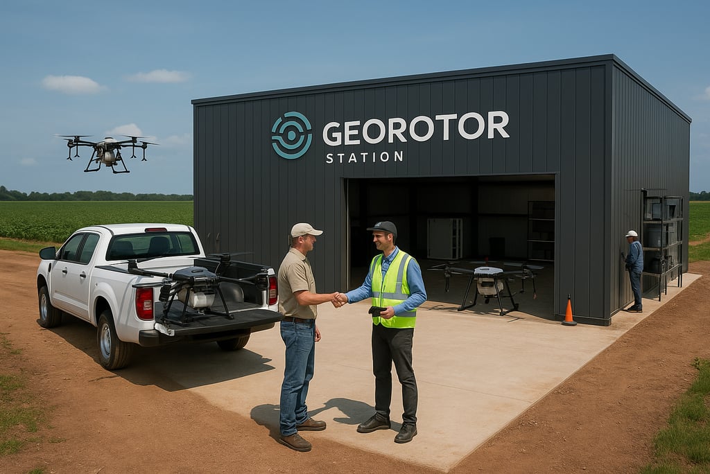
A regional hub where drones are managed, pilots pick up tasks, data flows in, and skills are trained — all powered by clean energy.
It’s where precision agriculture starts on the ground.
Transforming Agriculture with Technology
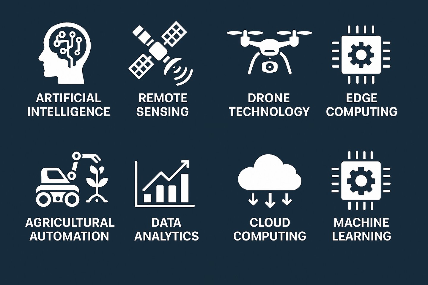
At GeoRotor, we empower agriculture through advanced drones, AI-driven intelligent systems, and a modular platform — including Farm View, GeoRotor Pro, GeoRotor Station, a data hub, and digital twin technology. Our solutions enhance productivity, visual management, and sustainability for farmers and cooperatives worldwide, building the operating system for the future of agriculture.
150+
15
Innovative Farming Solutions
Smart Agriculture
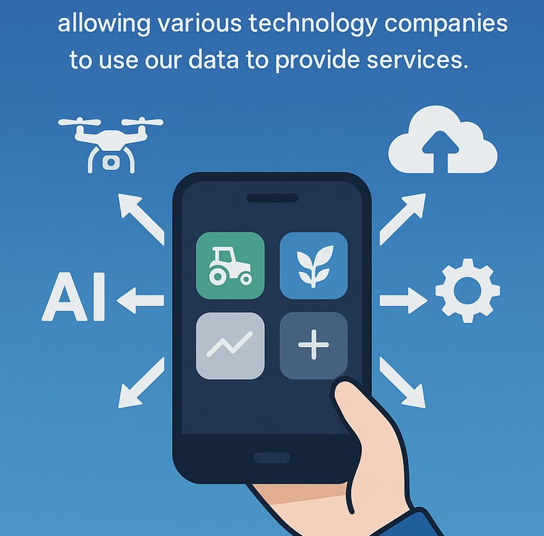
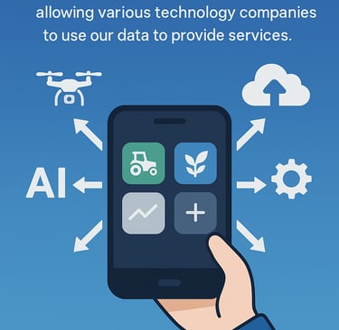
Open Ecosystem, Driving Agricultural Innovation
GeoRotor is building an open and collaborative agricultural data ecosystem. Technology providers can leverage our standardized data interfaces to offer subscription-based smart services to farmers, governments, and research institutions—just as easily as installing apps from an App Store. By making innovation more accessible, we enable continuous evolution of the agricultural system and accelerate the future of smart farming.
Social Responsibility
We provide research data free of charge to academic institutions and offer management data to government agencies at no cost.
Empowering Agricultural Research Through Open Data
GeoRotor offers academic and research institutions free access to high-resolution, structured agricultural datasets to empower innovation and scientific discovery. Our drone-based platform captures geospatial, crop health, and environmental data across diverse farm landscapes, enabling studies in precision agriculture, climate impact, remote sensing, and agri-tech applications. By providing open access to real-world, ground-truthed data, we support interdisciplinary collaboration and accelerate the development of sustainable agricultural solutions.
Government Agricultural Management
GeoRotor provides government agencies with timely, accurate, and structured agricultural data to support policy formulation, resource planning, and regulatory oversight. Our platform delivers real-time insights into crop conditions, land use, environmental impact, and emergency events through drone-based data collection and AI-powered analysis. By offering this data free of charge to public institutions, we aim to enhance transparency, improve decision-making efficiency, and contribute to the advancement of digital agriculture infrastructure.
Contact Us
Get in touch for inquiries about our agricultural drones and AI-powered farm management solutions.
GeoRotor
info@georotex.com
© 2025. All rights reserved.